


Geopolitical Radar Extension Mod (26.2, 1.21.11) – Track Nation Borders
 7
7
 0
0

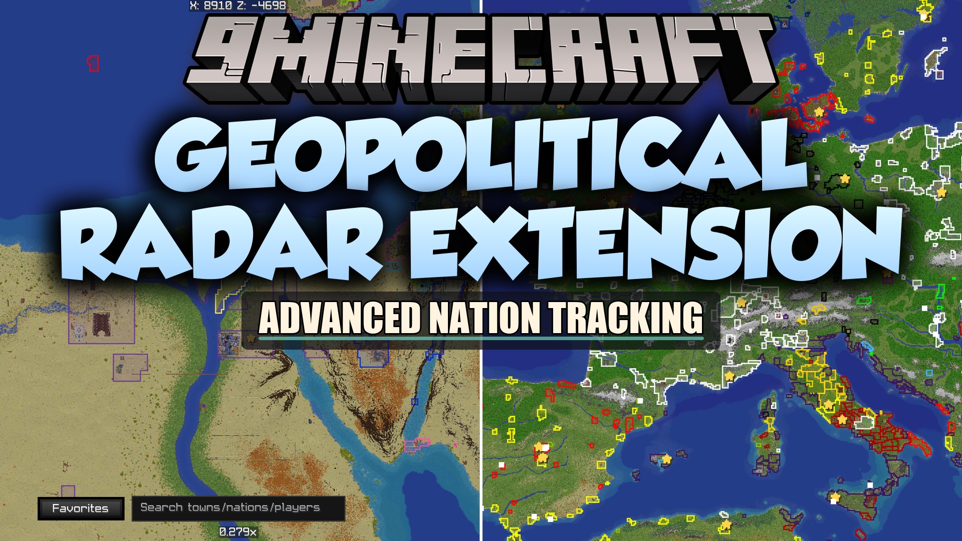
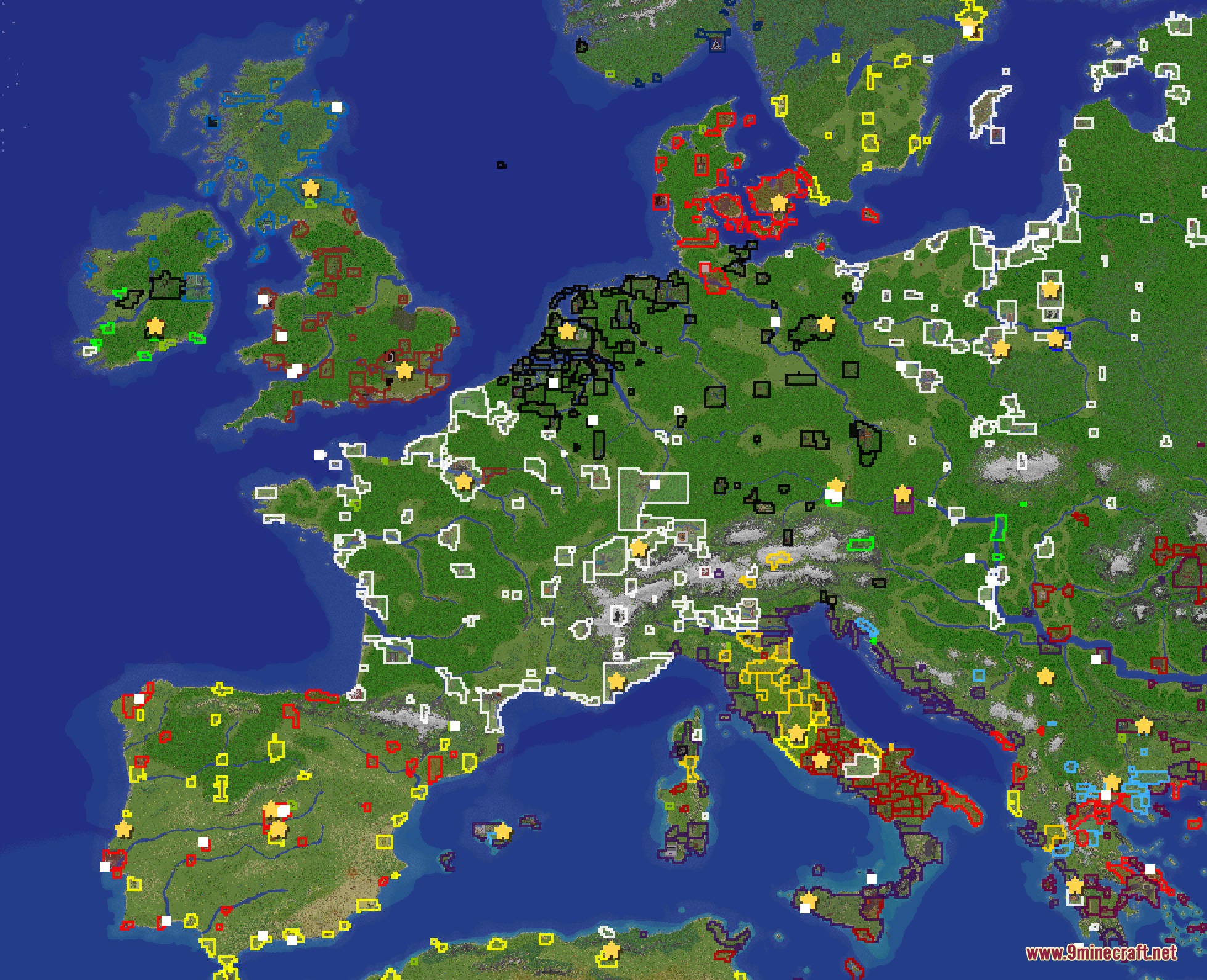
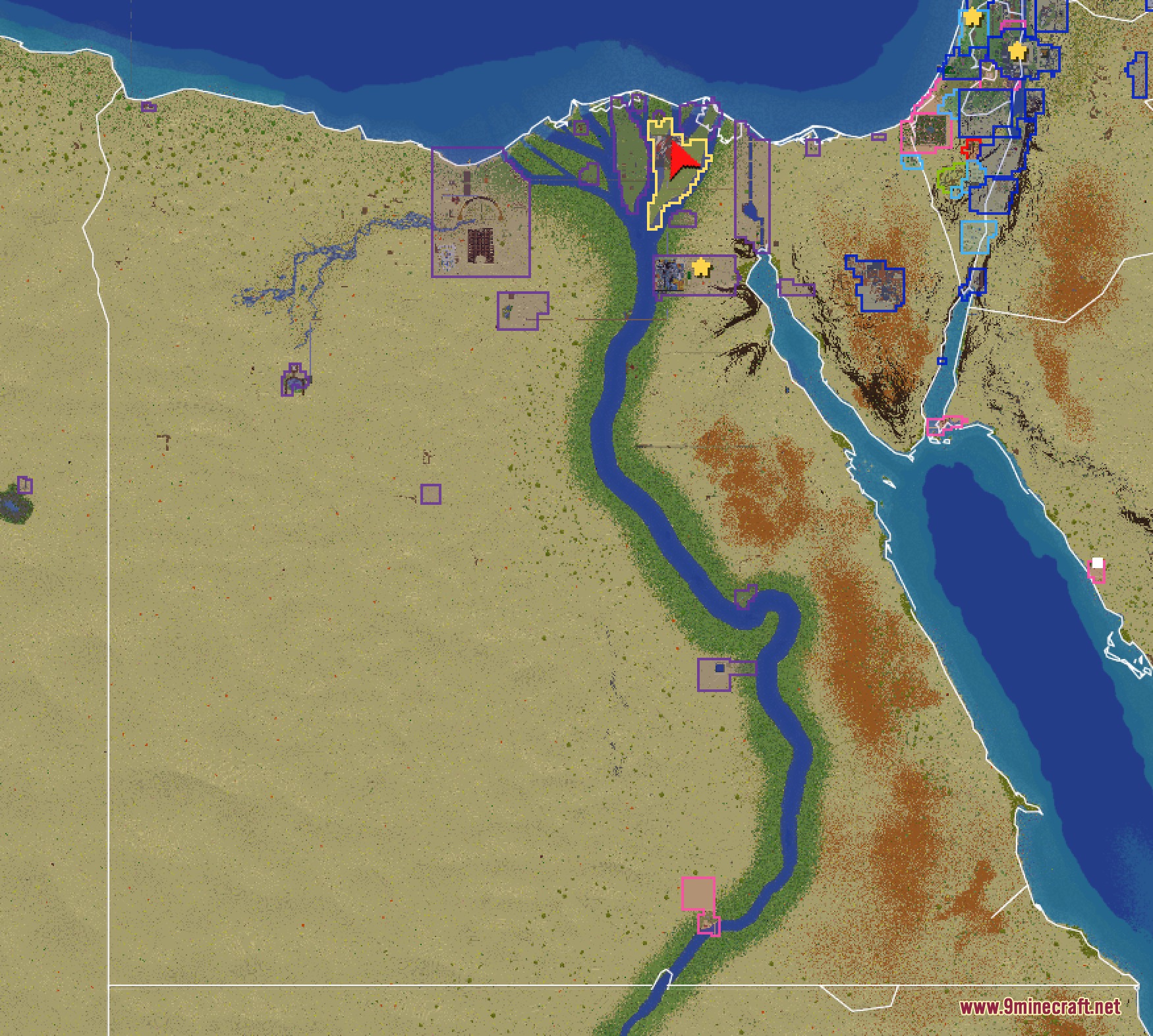
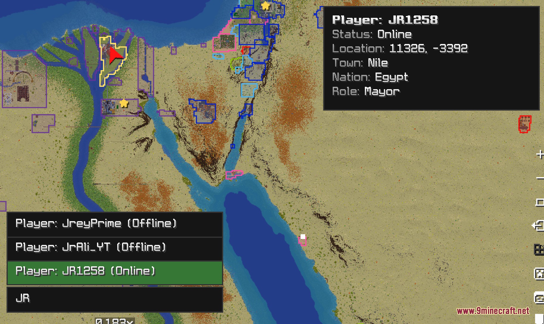
Geopolitical Radar Extension Mod extends Xaero’s Minimap and Xaero’s World Map with live EarthMC Towny data. It draws town claims, nation borders, and player markers directly onto your map screen. You can check town stats, track nearby players, and plan nation expansion without leaving the game. This mod keeps you updated on server politics right from your heads-up display.
Features:
- Live Town Overlays: Draws real town claim shapes with customizable border lines, fill colors, and smooth edges.
- Displays the official EarthMC squaremap tiles as a crisp background layer under your claims.
- Shows nation capital stars and circular lines for town join ranges.
- Unlocks extra zoom levels on the world map so you can see the entire globe at once.
- Adds real-world country and state border outlines over the map.
- Supports custom GeoJSON overlay files dropped directly into the mod folder.
- Places town borders, town names, and player markers right on your minimap.
- Provides an info readout under the minimap showing current territory and distance to nearby players.
- Alerts you when outside players wander near you in the wilderness.
- Includes six custom map modes to highlight open towns, megas, and alliance blocs.
- Features a planning tool that lets you place test markers to check nation claim ranges.
- Offers a search system with filters for nation names, chunk sizes, and resident counts.
- Lets you view historical map dates through Wayback Machine data archives.
- Includes a built-in chunk counter tool with box-selection support.
- Allows one-click map screenshots that automatically hide extra interface elements.
Map Modes:
- Public and Open modes: Highlights accessible towns across the world.
- Overclaim mode: Highlights towns that have fallen into overclaim danger.
- Meganations and Alliances modes: Recolors towns based on political blocs.
- Planning mode: Lets you place numbered town markers to preview join ranges before building.
Player Tracking and Info:
- Shows player dots colored by relation to your town and nation.
- Displays live distance to nearby players under your minimap.
- Renders player heads with customizable label view distances.
- Leaves a red marker at the last known spot of players who walk out of range.
How to Use:
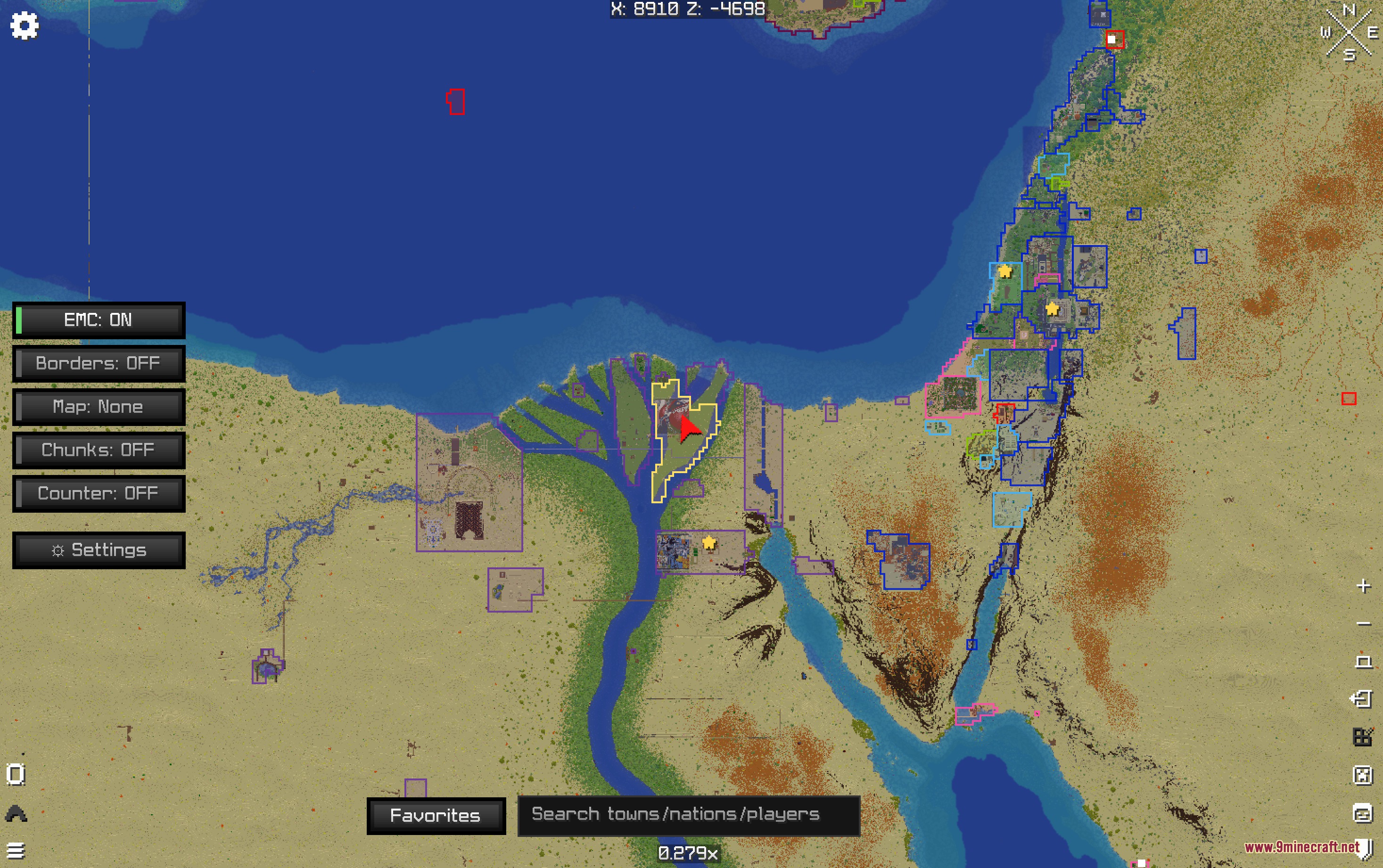
- Open the world map to view active town borders and country lines across the globe.
- Press J on your keyboard to open the central information dashboard.
- Use the search bar to find specific towns, nations, or online players.
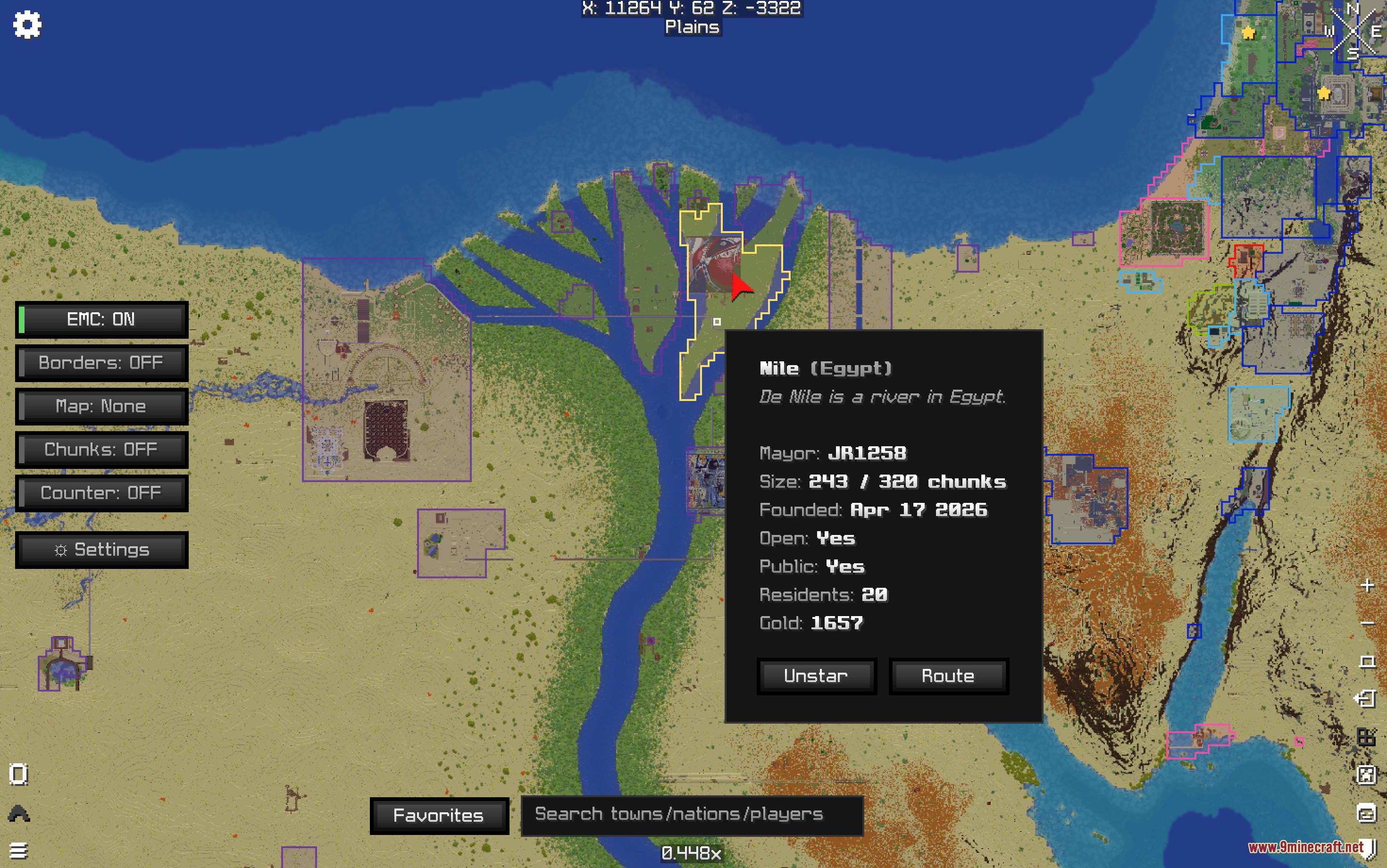
- Right-click any town claim or nation capital star on the map to view detailed statistics like gold and mayor names.
- Press R while the map is open to refresh claim data from the server.
Screenshots:
How to Install:
New to Minecraft? Follow our step-by-step guide to install Mods on your PC.View Guide
Requirements:

Geopolitical Radar Extension Mod Download Links
For Minecraft 26.2
For Minecraft 26.1.2, 26.1.1, 26.1
For Minecraft 1.21.11
Click to rate this post!
[Total: 0 Average: 0]
You May Also Like





This post has no comments yet. Be the first — your comment will appear here.